Welcome to Elevated Imaging and AG Solutions LLC
An Aerial Imaging and Data Company Based In Northwest Indiana
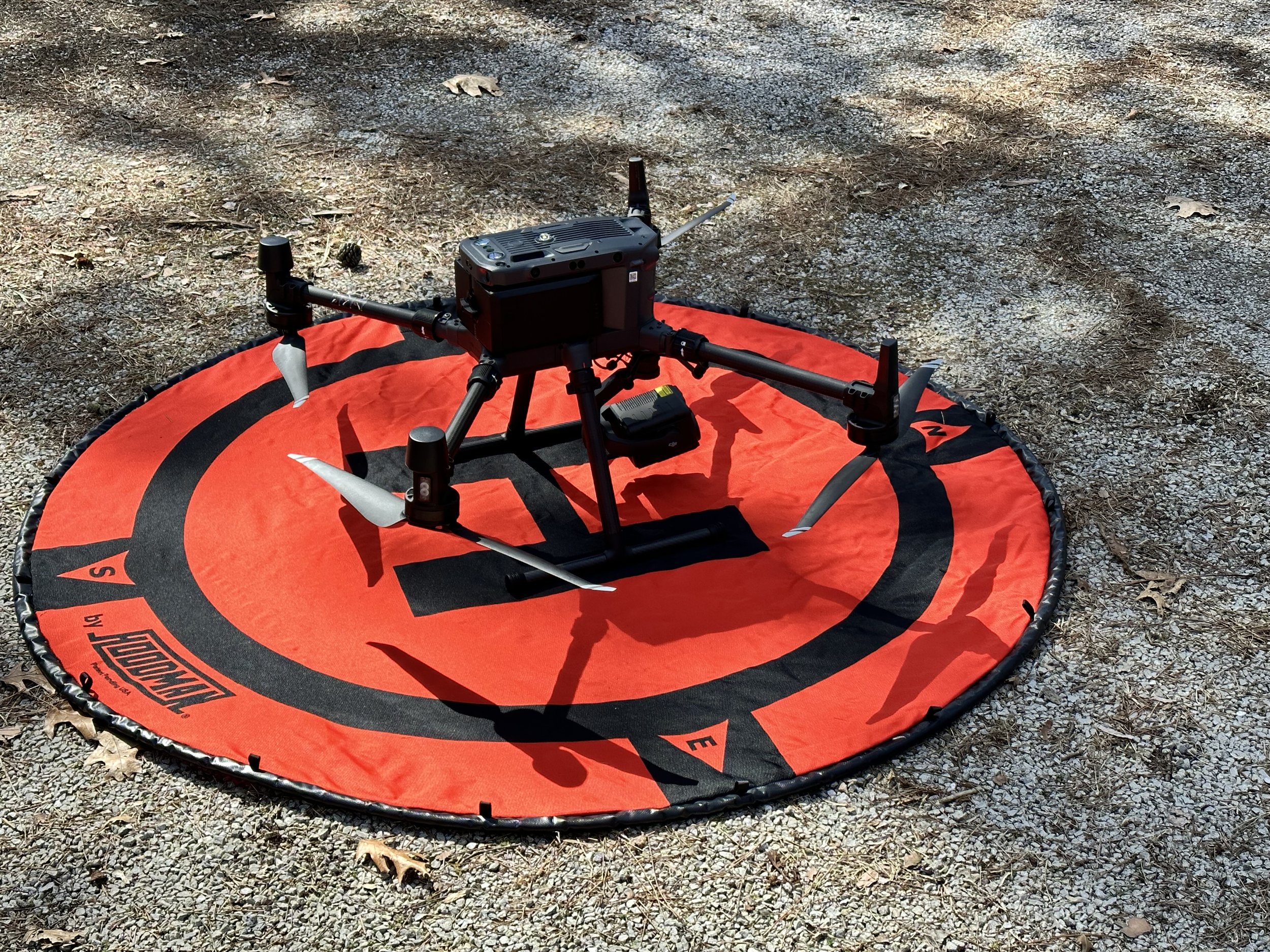
We’d love to hear about and discuss your projects needs or ideas where aerial imaging can bring new perspectives, economical benefits, and much more.is an aerial drone company that specializes in acquiring high resolution aerial imaging and data with professional grade equipment to provide clients with valuable project insights and visual documentation for future reference. There are many beneficial services we can provide that relay crucial information on daily operations and projects.
Elevated Imaging and AG Solutions
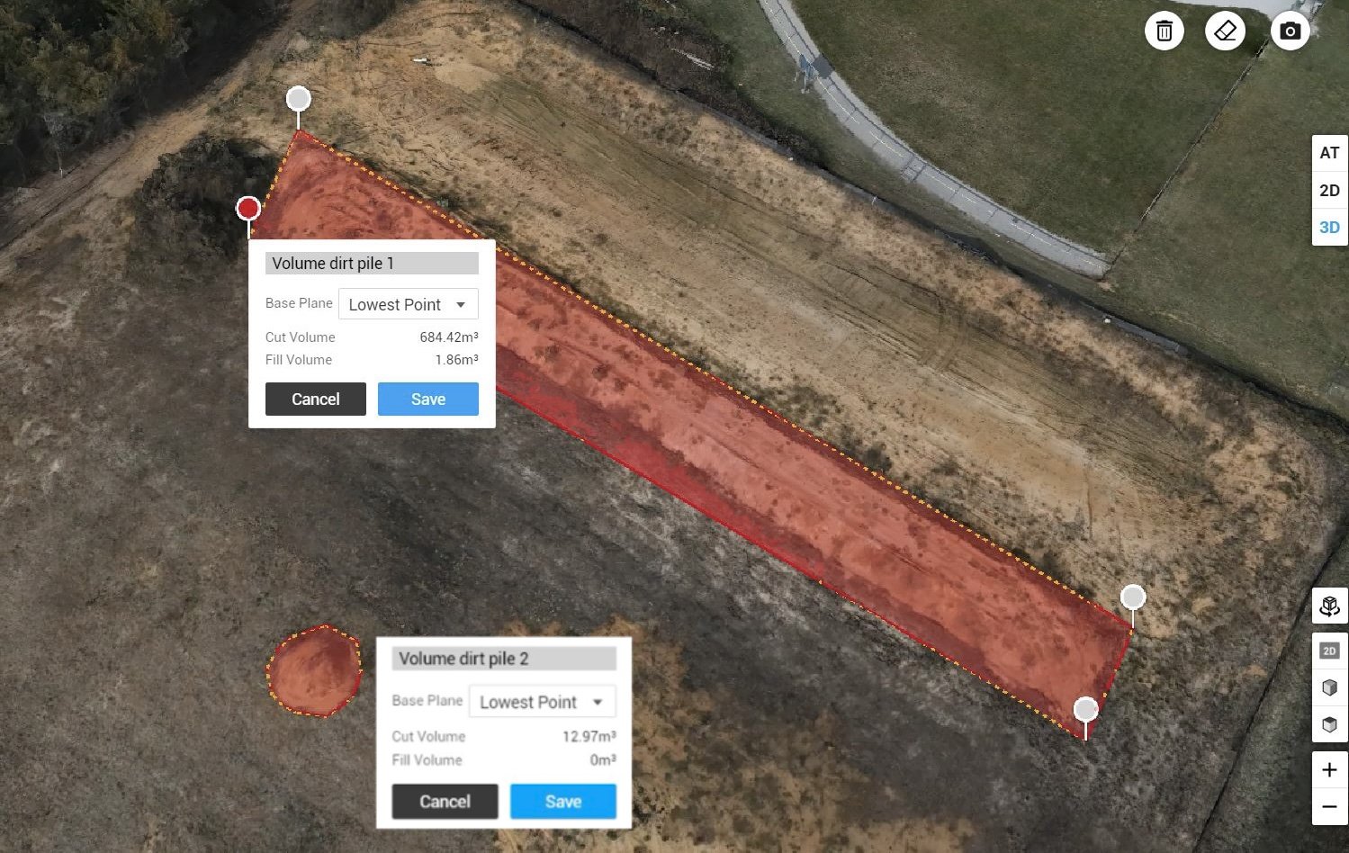
Volumetric measurements
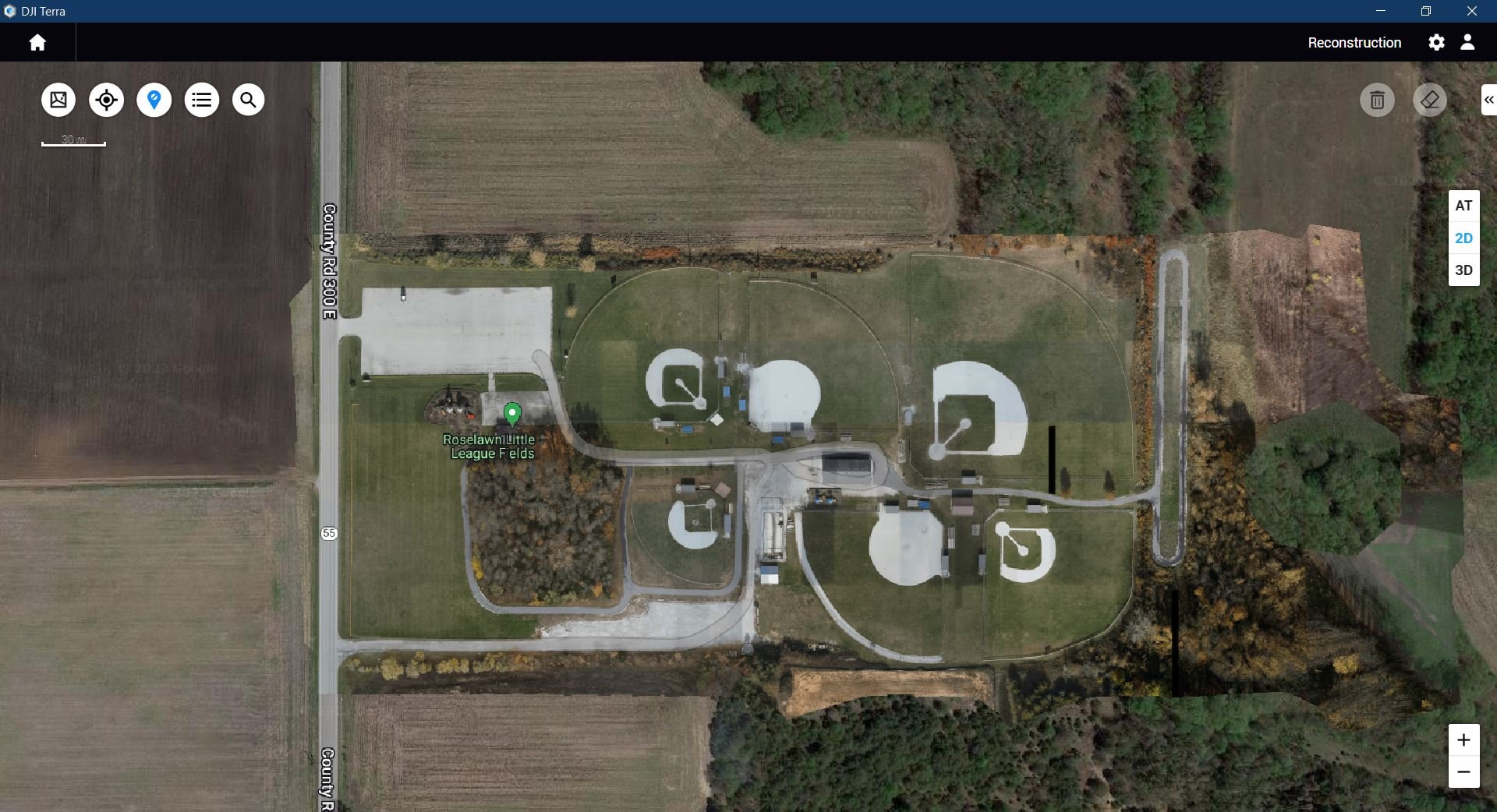
Our services in construction range from Hi Res photos and video for progress management to 2d/3d mapping/modeling that can be exported to various design and CAD software.
Cell tower imaging and 3d mapping for inspections, nest measurements, sub leasing planning, condition and maintenance tracking.
Cell Tower mapping
Hi Res Orthomosaics from our 45 MP Full frame DJI P1 camera.
Thermal roof and facade inspections. Detect heat/cooling loss due to insufficient insulation, water leaks, and roof damage.
Thermal Imaging reports for Cell towers, Water tanks, Roofs, facades, solar panels, and more.


