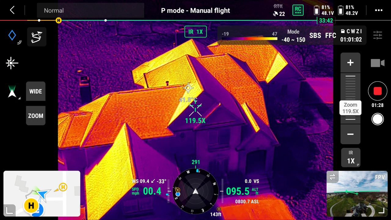
Why is it beneficial to document your home and property with a drone and get an aerial imaging report?
Documenting your home and property with a drone and aerial imaging can provide a range of benefits. Aerial imaging can capture high-resolution images and videos of your property, providing a comprehensive view that would be difficult to obtain through traditional methods. This documentation can be useful for a range of purposes, such as property management, insurance claims, and home renovation projects. For property management, aerial imaging can be used to track changes in the property over time, such as changes in landscaping or the addition of new structures. In the case of insurance claims, aerial imaging can provide visual evidence of damage to the property, such as roof damage caused by a storm. This evidence can support the claims process and potentially speed up the resolution of the claim. Additionally, aerial imaging can be used to visually conceptualize home renovation projects, allowing homeowners to see their property from a new perspective and identify areas for improvement or potential challenges. Documenting your home and property with a drone can provide valuable insights and support for a range of purposes.


